Bunnings
National aerial photography of Bunnings’ Australian store network, coordinated across six states and four aircraft types to match the airspace and geography of each region.
Commercial requirement
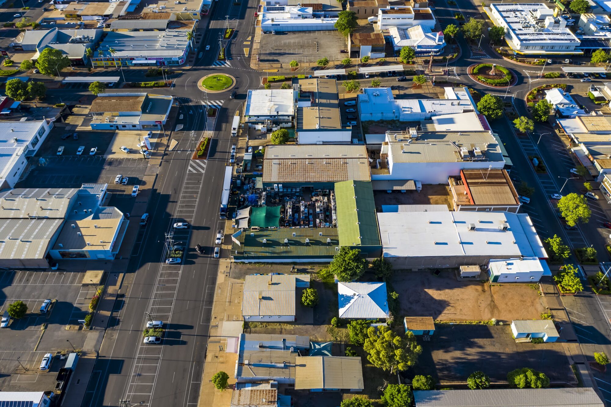
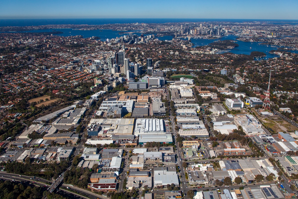
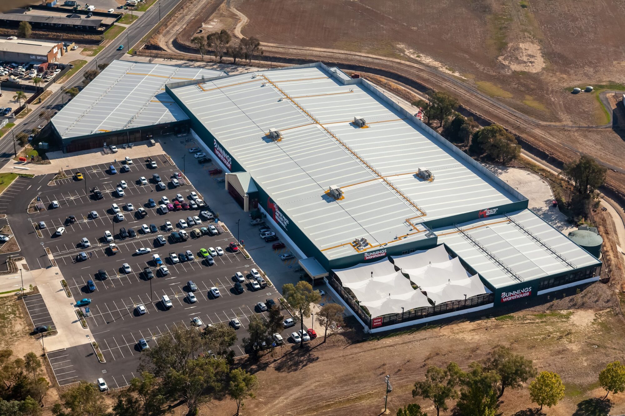
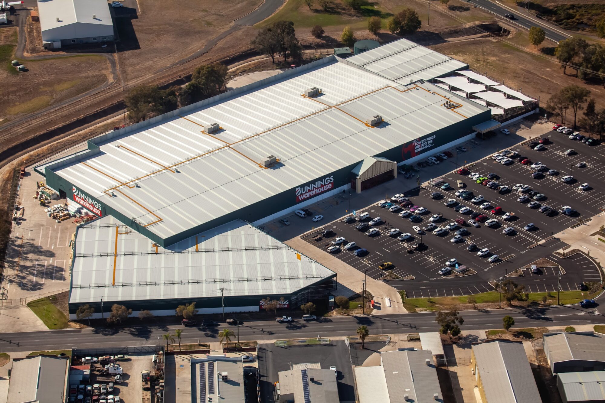
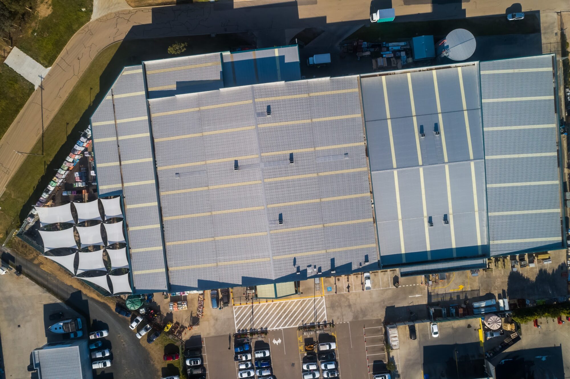
Bunnings needed a consistent, current set of aerial images across its entire Australian property network, something the property and marketing teams could draw on for site marketing, divestments, leasing material and national presentations without commissioning a new shoot every time a property came up. The brief covered Warehouses, smaller format stores, trade centres, distribution centres and frame and truss yards across every state and territory. Every site was photographed to the same standard, a close shot of the roof, the building from each corner, the surrounding road network, and a wider view placing the site against its town centre.
Shoot approach
No single aircraft covered a job spread this wide. Sydney’s stores sit inside some of the busiest controlled airspace in the country, several within 5.5km of Sydney Kingsford Smith, Bankstown or Camden. Those were flown by helicopter, departing from Kingsford Smith and working under standard air traffic control rather than case by case drone approvals.
Perth, Adelaide, Melbourne, Brisbane and the long transit leg from Brisbane to Canberra were each covered by fixed-wing aircraft. Country Victoria’s stores, close enough together by road from a Melbourne base, were worked through by drone, site to site. Mount Isa and Geraldton, isolated outliers well off any of those routes, were handed to local drone operators briefed against the same shot list, rather than mobilising aircraft and crew for a single site.
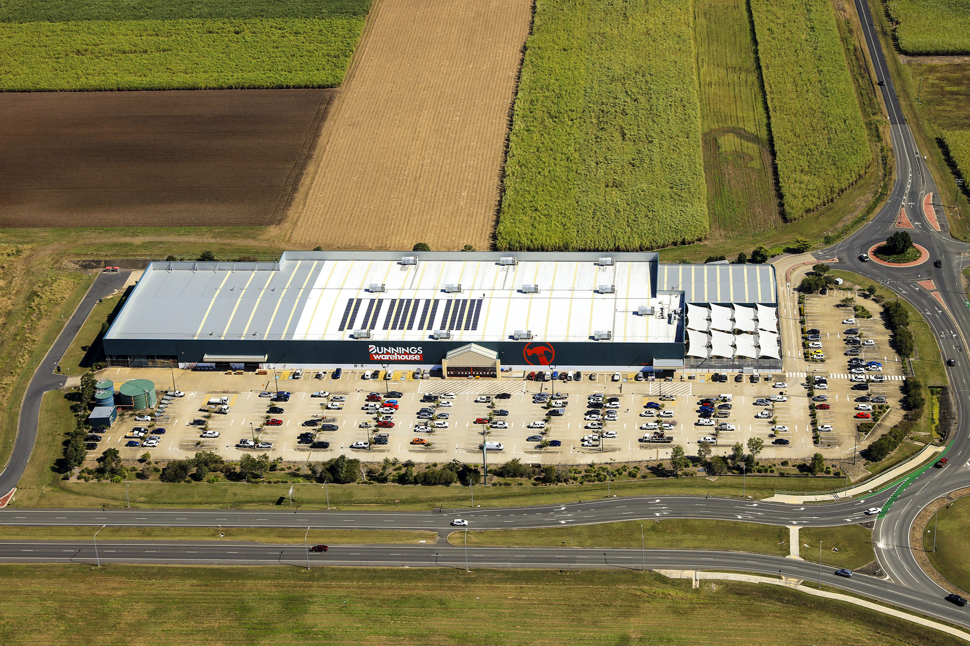
324 stores photographed across six states and territories, 5,686 images delivered. Mapped against their real coordinates, the completed stores span roughly 14,900km of straight-line distance nationally, including a spread of close to 1,900km within Western Australia alone.
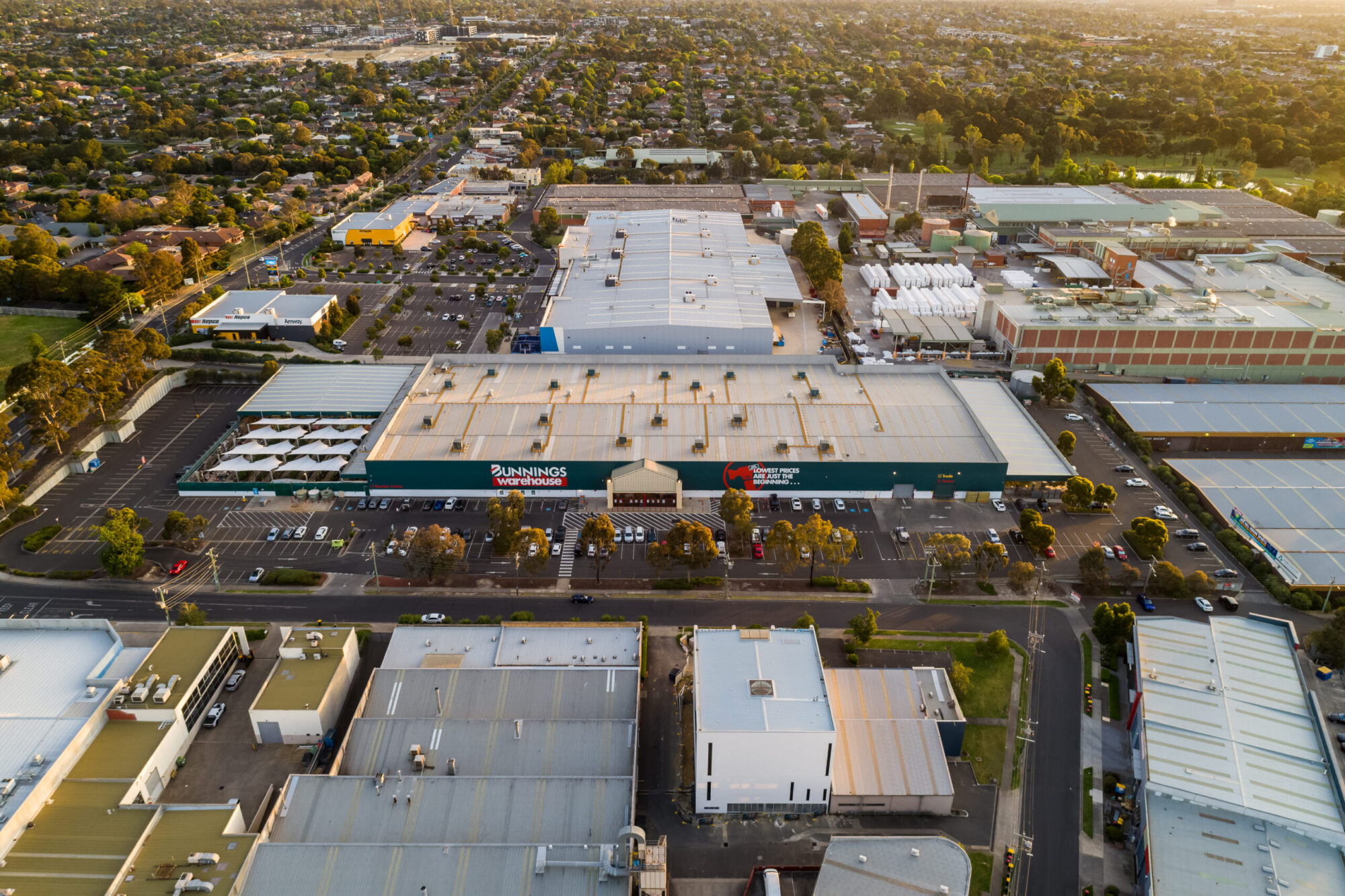
Image use
The first store shot, a new warehouse in Albury, ran as a print advertisement for the site’s sale. Across the rest of the network, the photography has supported store marketing, property divestments, leasing material and national presentations, store by store, as each one is needed.
Outcome
Bunnings now holds a current aerial library across its Australian property network, covering six states and territories and built using whichever aircraft and airspace approach suited each region. It’s the kind of national programme that’s hard to repeat from scratch, the access, the approvals and the routes are already worked out.