Drone
Photography
Melbourne.
Property development, architecture and major projects. CASA certified. Fully insured.
Get a Quote View WorkBuilt for the built world.
As a commercial drone photographer based in Melbourne, I specialise in aerial photography for property development, construction and architecture.
My clients include developers, builders, architects, government organisations and marketing agencies who require aerial imagery for marketing campaigns, project documentation, stakeholder reporting and project promotion.
Every project is planned to achieve specific commercial outcomes, combining compliant drone operations with photography built around how the images will actually be used.
For commercial drone photography in Melbourne, I provide reliable aerial imagery backed by more than 20 years of experience working within the property and construction industries.
CASA certified. 20+ years in the air.
Licensed under CASA ReOC.8560 to operate UAV (unmanned aerial vehicle) systems commercially across complex environments and restricted airspace. Fully insured. All airspace notifications and approvals managed as part of the job.
What drone photography is used for.
01
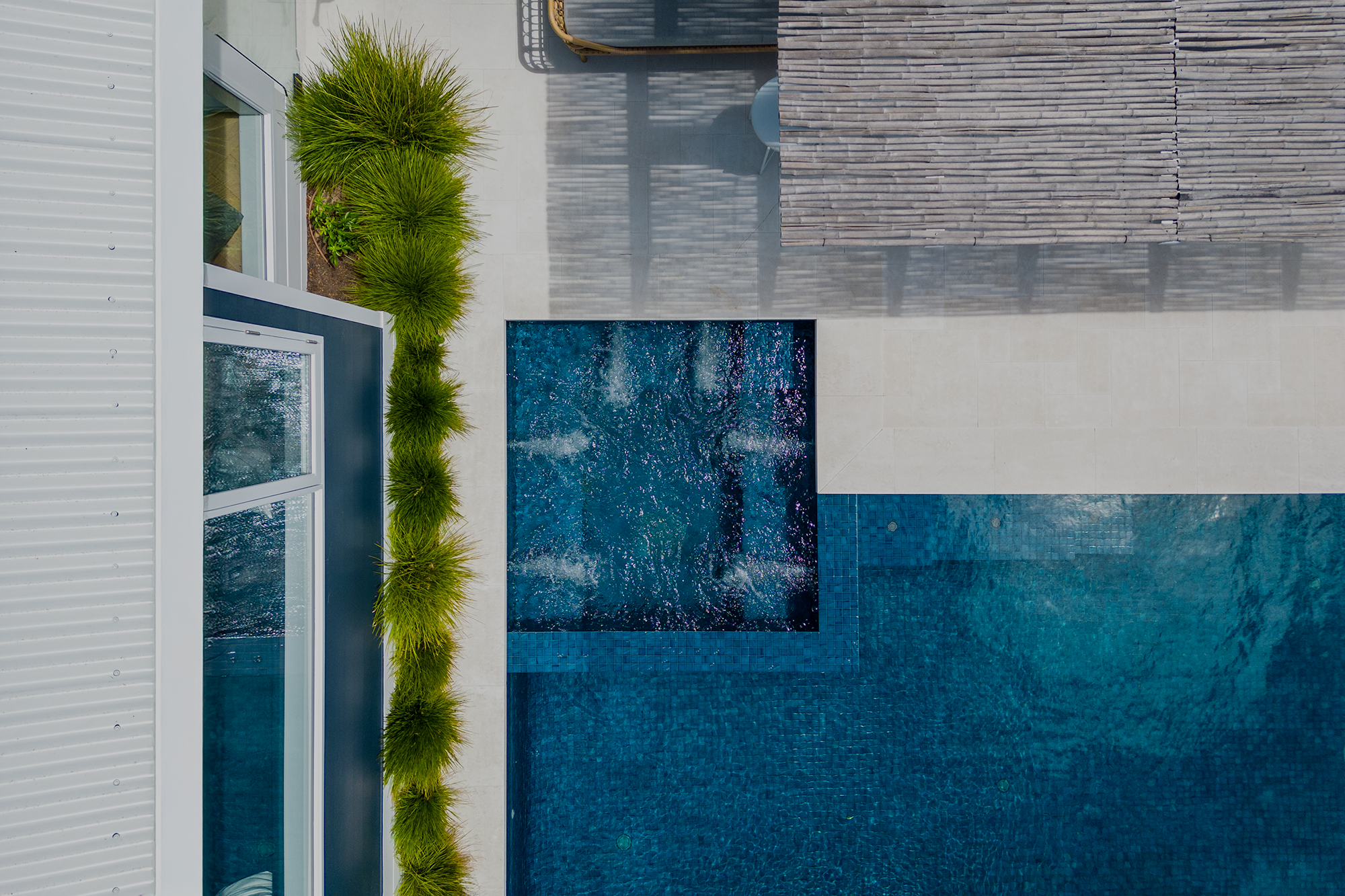
Campaign Imagery
Aerial imagery planned around a specific campaign need. Launch material, sales collateral, project marketing, press releases and social content. Shot to a brief, delivered ready to use.
02
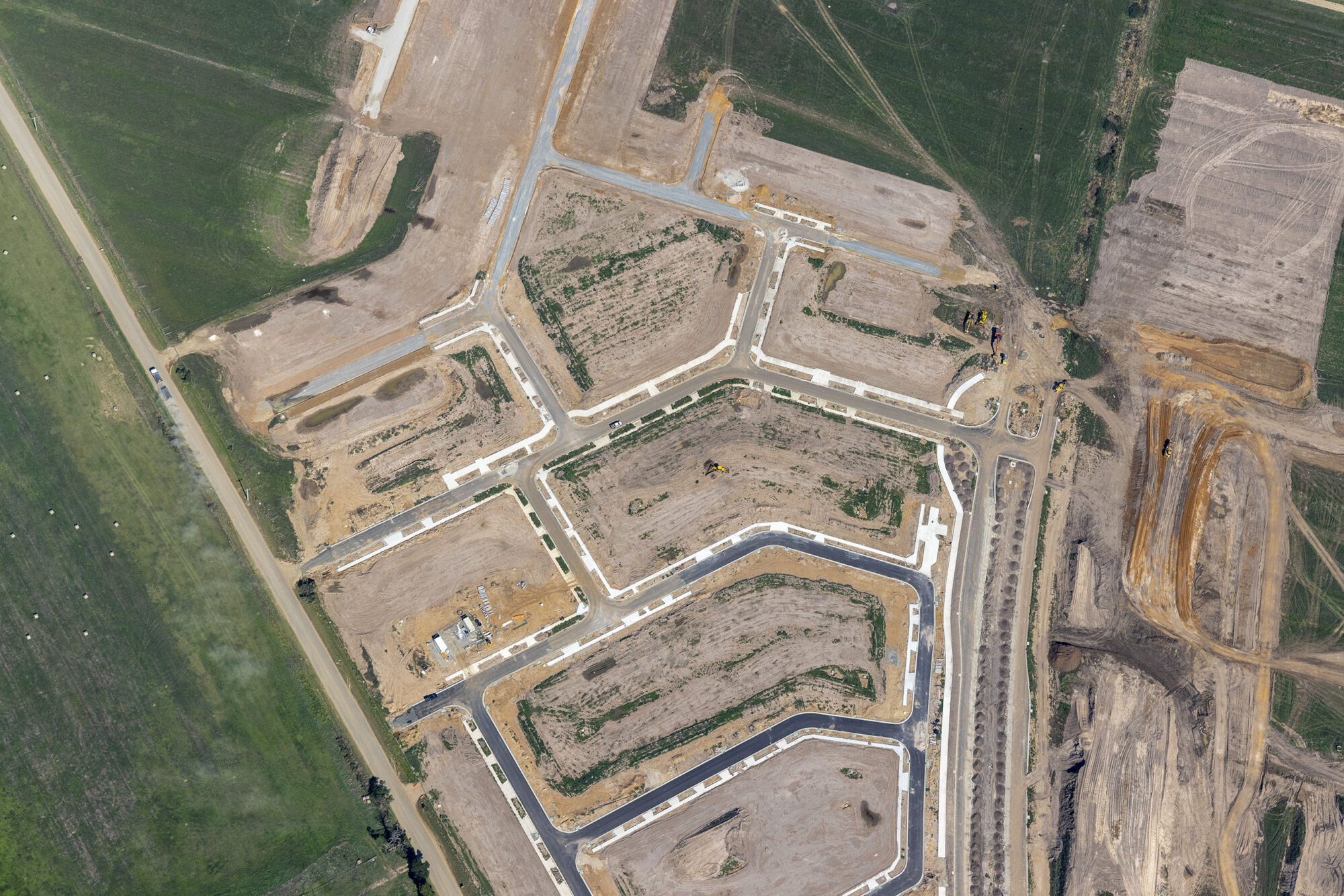
Development Marketing Imagery
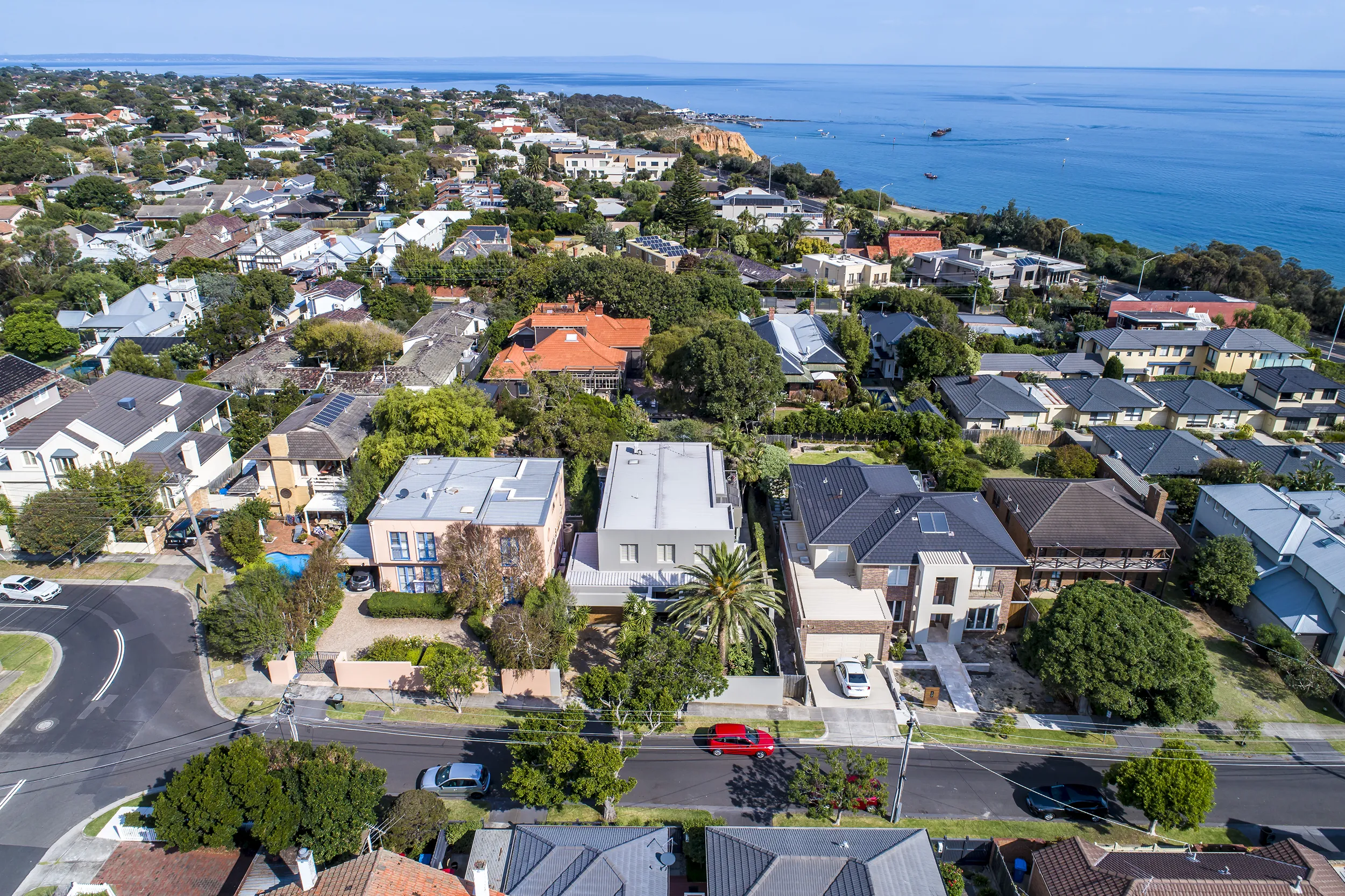
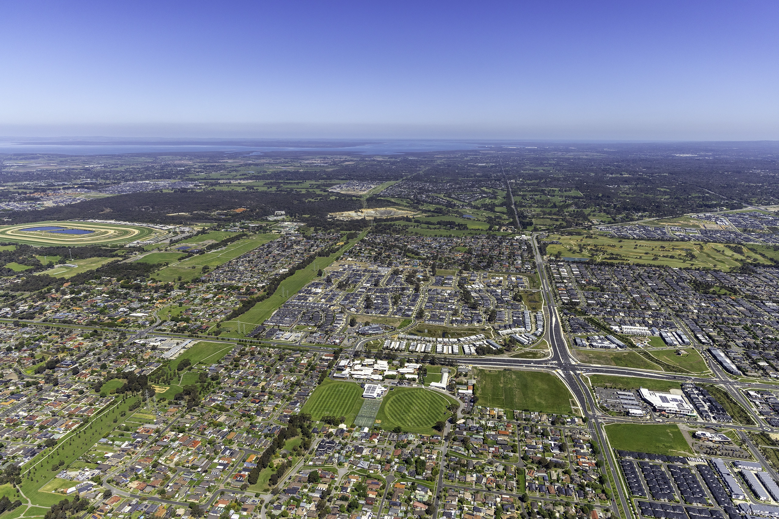
Imagery that shows your project in context. Scale, location and design intent communicated clearly to buyers, investors and stakeholders.
03
Viewline Photography
Aerial imagery captured from proposed floor heights, used by developers, architects, render artists and planners to visualise future views, support planning submissions and underpin project marketing.
04
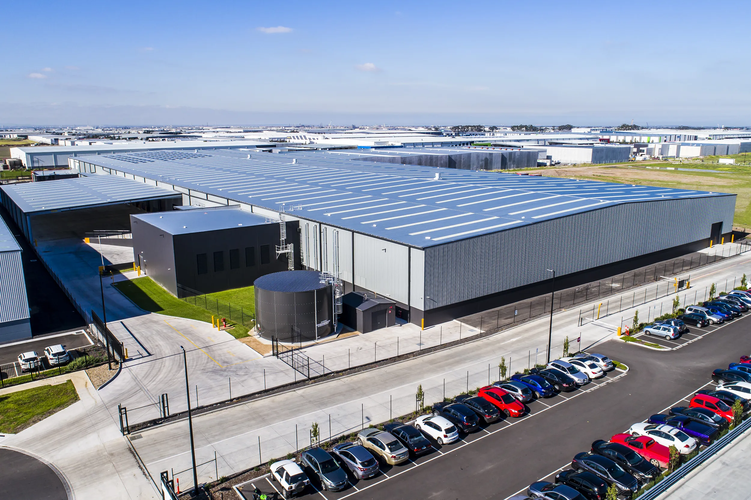
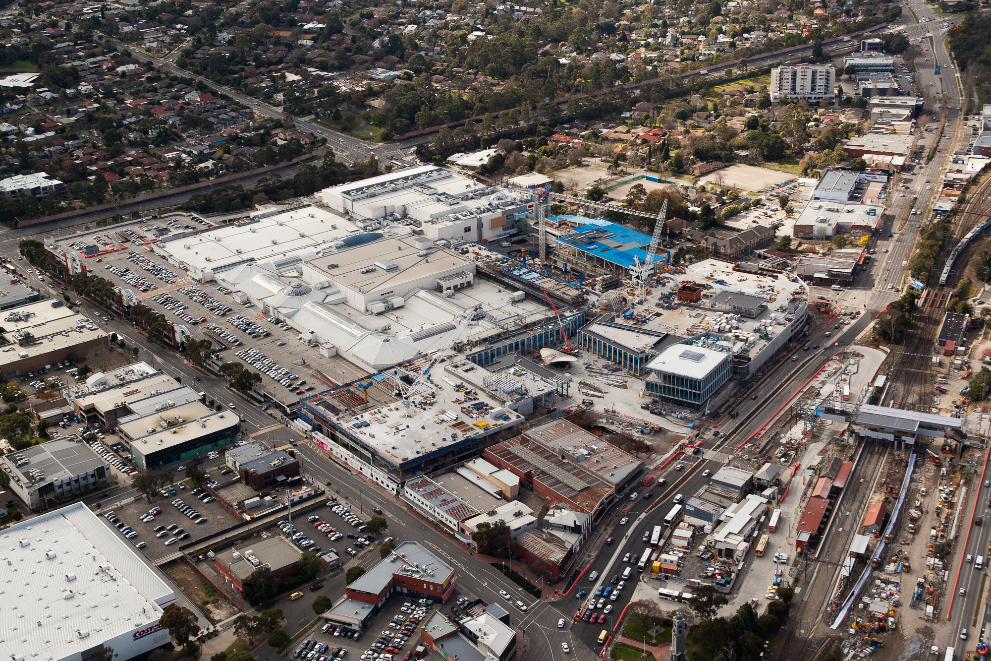
Commercial Property
Aerial imagery for office, industrial, retail and mixed-use assets. Shows the asset in precinct context including road and truck access, parking, surrounding amenity and proximity to transport. Used for leasing campaigns, sales memoranda, investor decks and property portals.
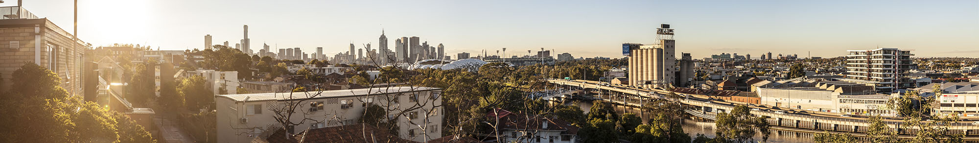
See the view before the building exists.
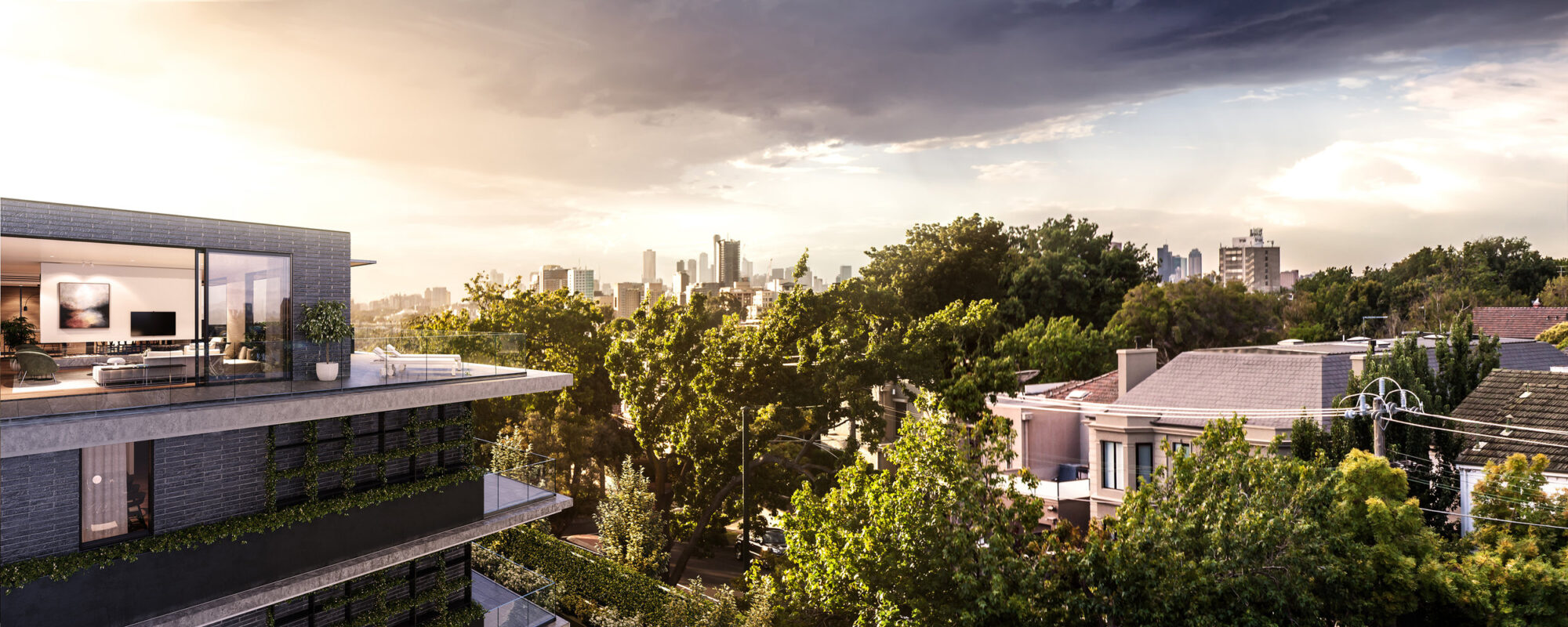
Viewline photography captures the real outlook from a proposed apartment, balcony or rooftop before the building exists. Working from architectural drawings, the camera is positioned at each proposed level to show developers, architects, planners and render artists exactly what future occupants will see. It answers the question that shapes design decisions and drives sales: what will the view actually look like?
The imagery is used as the photographic base for architectural renders and photomontages, informs planning submissions and development approvals, and gives marketing teams compelling evidence of views that don’t yet exist.
Developers & Project Managers
Understand the quality and character of views across different levels and orientations before construction begins. Support sales campaigns with photographic evidence of the outlook future residents will enjoy.
Architects, Planners & Render Artists
Give your team a precise photographic base, taken at proposed floor-plate heights, for photomontages, architectural renders and planning submissions. Understand exactly what the building will see before a line is drawn.
Marketing Teams
Give off-the-plan purchasers confidence with photographic evidence of the view they are buying. Panoramic viewline imagery is a powerful sales tool for premium apartments.
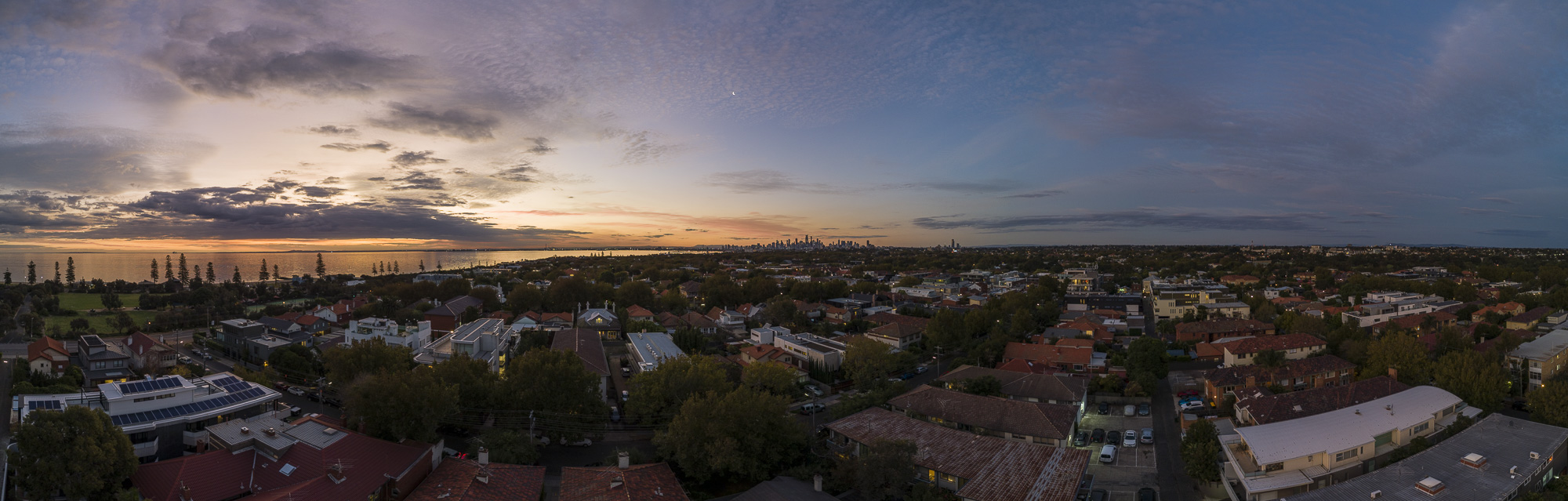
Real photography. Future views.
Viewline photography captures the actual outlook from a proposed level before the building exists. Working from architectural drawings, I fly to each specified height and deliver panoramic and directional imagery that shows developers, architects and render artists exactly what future occupants will see.
The imagery integrates directly into architectural workflows: used as the photographic layer beneath renders and photomontages, submitted as part of planning applications, and presented to buyers as evidence of the views they’re purchasing.
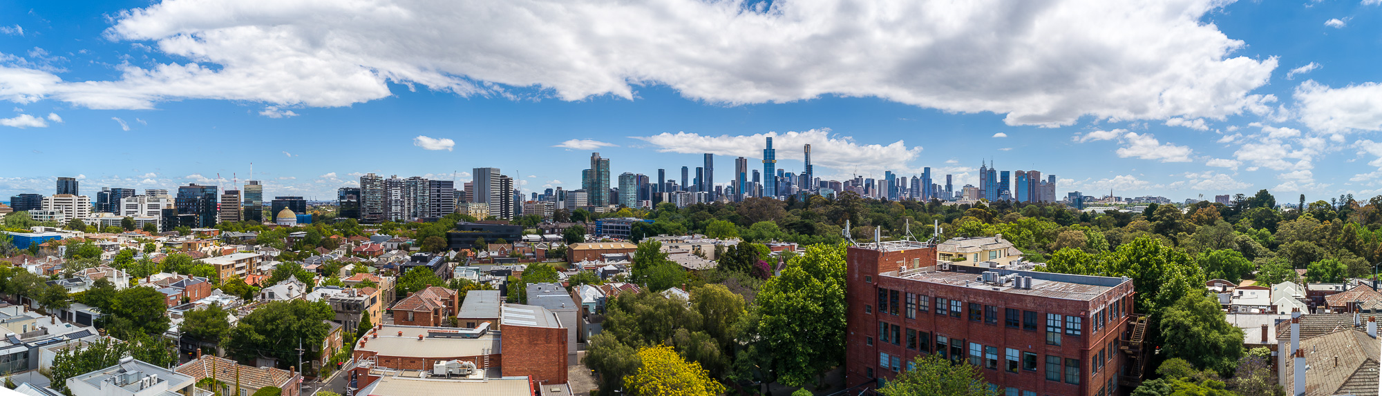
Planning, visualisation and marketing.
Viewline photography is used at every stage of a development project, from early planning submissions and architectural renders through to off-the-plan sales campaigns and development approvals. Developers use it to understand their product. Planners use it to assess it. Render artists use it to visualise it. Marketing teams use it to sell it.
All imagery is delivered ready to use as the photographic base for architectural renders, photomontages and planning submissions.
Visualising a future view?
Viewline photography for Melbourne and Victoria. Tell me your site, proposed levels and how the imagery will be used. I’ll come back with a clear approach and price.

Talk to Brett about
your project.
0403 734 402
Direct line to Brett