You can’t understand a city’s geometry until you see it from 1,000 feet.
At that height, the infrastructure of Melbourne starts to make sense.
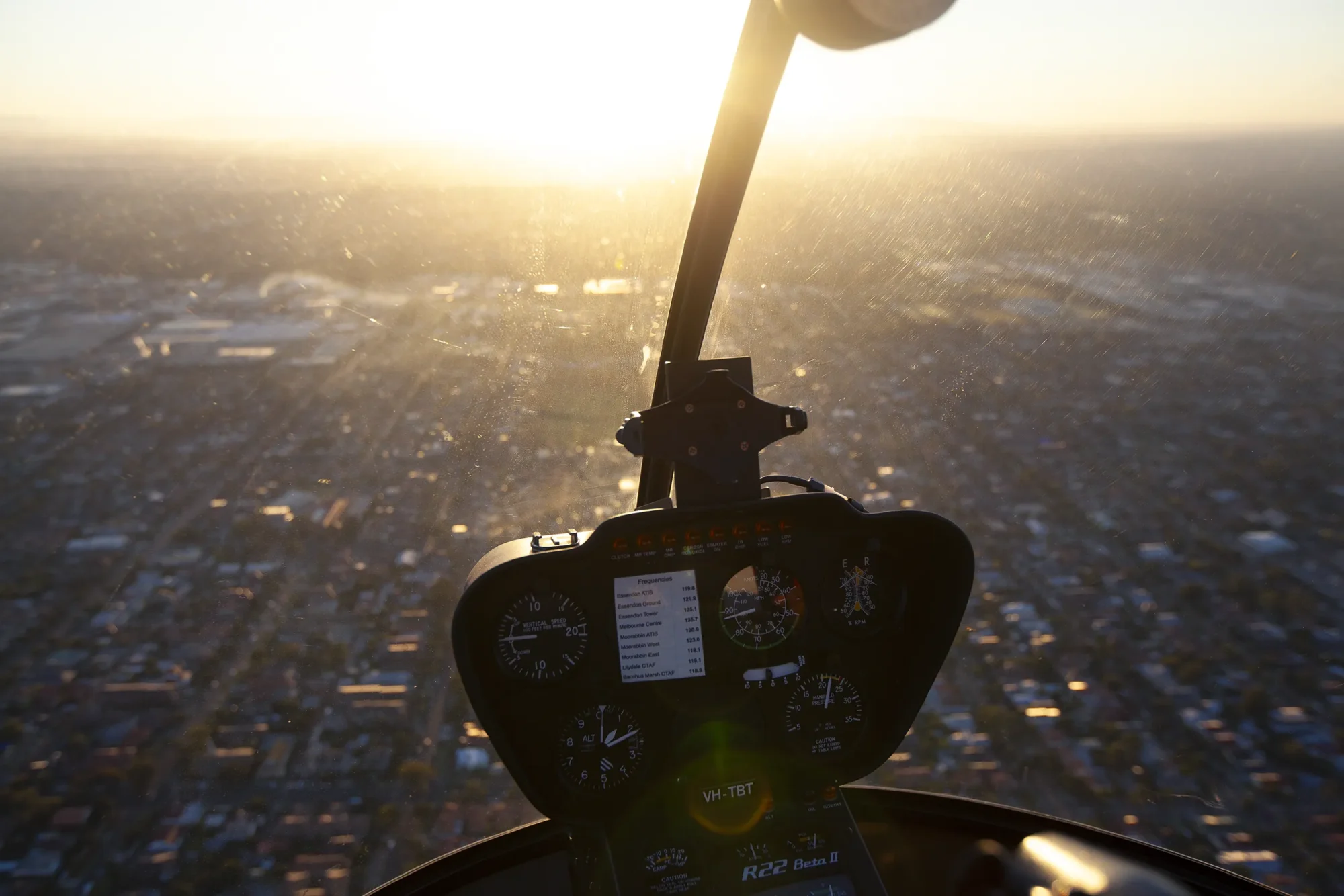
I provide helicopter aerial photography across Melbourne and regional Victoria, reaching the perspectives that drones cannot.
While drones have their place, they are limited. I fly through controlled airspace, over major ports, and across dense urban centers where remote pilots are restricted.
A helicopter provides a stable, high-altitude platform to hover, pivot, or trace slow arcs around a subject.
I use this for everything from wide helicopter aerial photos of the Melbourne skyline to low, deliberate passes over active construction sites.
The result is a mix of technical accuracy and visual storytelling.
Every flight is a coordinated effort between myself and licensed pilots who understand the complexities of Victoria’s airspace.
I handle all flight planning, permits, and weather windows in advance so the focus stays on the composition and the specific details of your project.
I specialise in:
1 Architecture and infrastructure
2 Cityscapes and industrial sites
3 Commercial editorial work
4 Long-term progress documentation